
It's Easy 2B Green!
Green Project Development
Our #GreenTeam is ready to support your project needs with expertise and GIS solutions.
Our Services
We provide various services by qualified experts.
GIS Mapping
Our company recognizes the importance of maintaining mapping data and how an accessible system can be utilized to clearly define and achieve project goals.
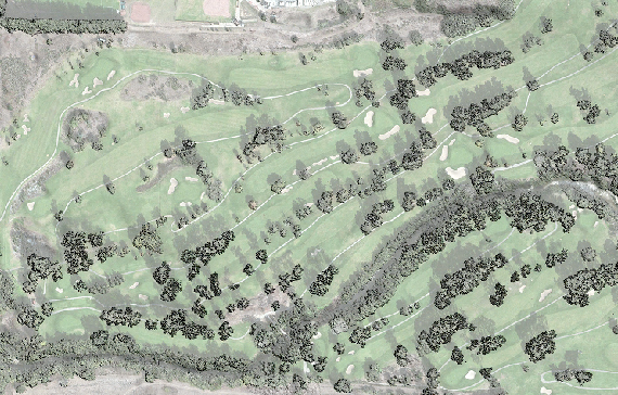
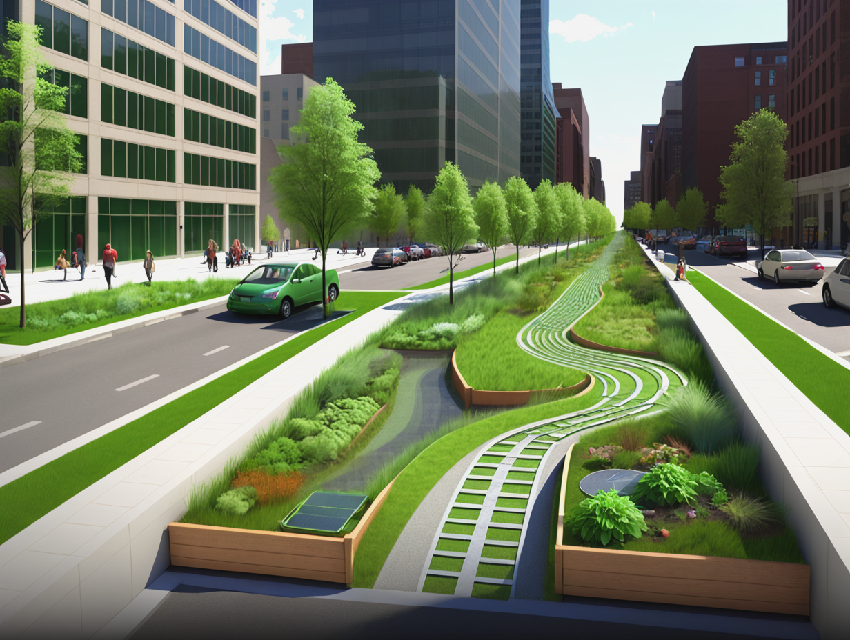
Green Design
Our dedicated team of experts is committed to enhancing Nature Ground, the small spaces in our daily lives that can be optimized to deliver ecosystem services.
Field Audits
Field audits ensure that your GIS data aligns with on-site conditions, and vice versa. After project completion, clients gain from enhanced GIS systems.
Since 2002, our team has conducted GIS Field Audits for Stormwater, Water and Wastewater Systems.
Today, we use this knowledge to find Green Infrastructure Projects in your community. It's Easy 2B Green! #GreenTeam
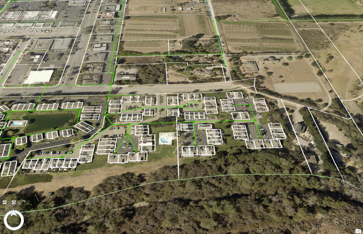
GPS Field Audit
Using GPS Mapping our team will conduct a field audit to upate and correct your GIS Information.
Mobile App Design
Using ESRI Products, our team will create a suite of applications for field collections and mapping/
Mapping and Cartography
Service overview Our team will project manage your renovation and remodeling projects from start to finish.
Web GIS Hubs
Setting up a HUB for a project or orgination is a great way to create and archive data. Project data is stored in an ESRI Account and accessed through a HUB.
Project Development
Using the GPS Field Audit and updated GIS our team will find areas that could be used to imporve ecosystem services.
Drone Mapping
Creating elevation topos and near-infrared imagery from drones helps create a green basemap.
GIS Project Development Since 2002
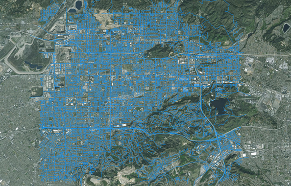
Water System Mapping
We have mapped well over 60,000 water assets using high-resolution GPS to update and covert GIS systems. Using a GPS Field Audit, Our Green Team will improve the accuracy of your systems.
Wastewater Mapping
GPS mapping is only one way to improve your GIS. Attributes of your data are more important than the location. Updating information with as-builts and notes allows your GIS to be displayed with insight.
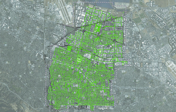
Green Infrastructure Mapping
Our Green Team will locate areas using GIS and GPS that could greatly be improved with Green Design. With Web Maps and Field Apps your team is more informed of where to start being green.
It's Easy 2B Green!
Explore Our Services
GIS Data Preparation

Field Audits Using GPS
Green Infrastructure Design
#Green TeamWe have been creating GIS maps with GPS techonoly for over 20 years.

Field Audits for GIS
Our team of experts have developed a cost-effective approach to updating Geographic Information Systems (GIS) using Global Positioning Systems (GPS).
Field Audits take your GIS into the field to ensure what’s in the ground is in the computer. Field verification can be done in the field with mobile maps and apps.
Connecting the field and office with Web GIS.
Project Development
The use of GIS has drastically grown and helped enhance business practices over the last twenty years. Companies, as well as government agencies, have started to realize the benefits of GIS and are using it in their day-to-day operations.
Our Green Team provides is alliance of leading environmental firms and construction companies to design, built and maintain green infrastructure in the public and private sectors.
ArcGIS Online
ArcGIS Pro
ArcGIS Enterprise
ArcGIS Platform
Esri Store
How to Buy
Esri products, partner products & developer subscriptions

GIS Mapping
Field Operations
Spatial Analysis & Data Science
Imagery & Remote Sensing
Real-Time Visualization
3D Visualization GIS
Data Management
strategic Planning
Our Strategy
Conduct a GPS Field Audit
Using your current GIS our team updates the attributes and locations using high-resolution GPS.
Green Infrastructure Design
Using the updated GIS and field notes our team highlights projects in your service area that would benefit from Green Infrastructure.
Maintanace Follow Up
Once installed, GI projects are added to a work order Web GIS that helps keep track and maintenance your GI Projects.